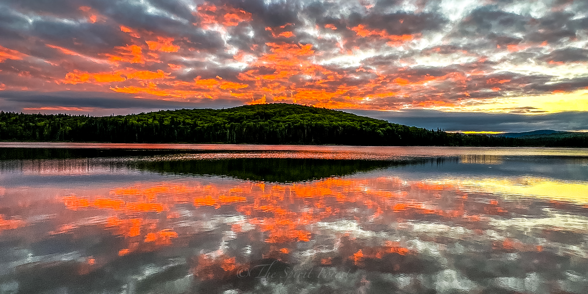
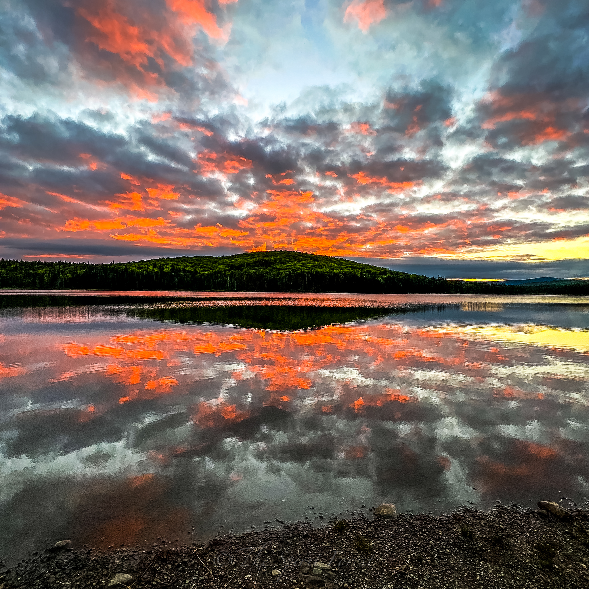
I tossed and turned until 4am when I got up and hobbled down to Little Diamond Pond where I had one bar of service. I sent a few texts to let friends know I was okay since no one had heard from me for the last 15 hours. I did let everyone know ahead of time that I would have limited service and not to worry as I am equipped with what I needed to survive.
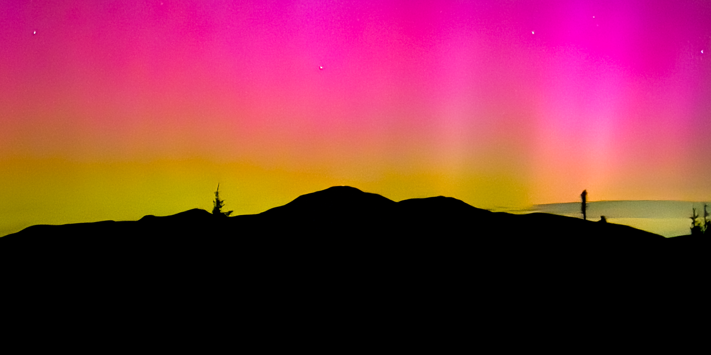
I listened to the loons calling and the birds singing their morning songs as the sun rose over Diamond Ridge. It was spectacular. I made my way back to camp while everyone in camp was still asleep and made breakfast. I ate as much as I could and drank another liter of water to get my pack weight down. I had a fairly short day to Panorama shelter and from there a few more miles to Dixville Notch.
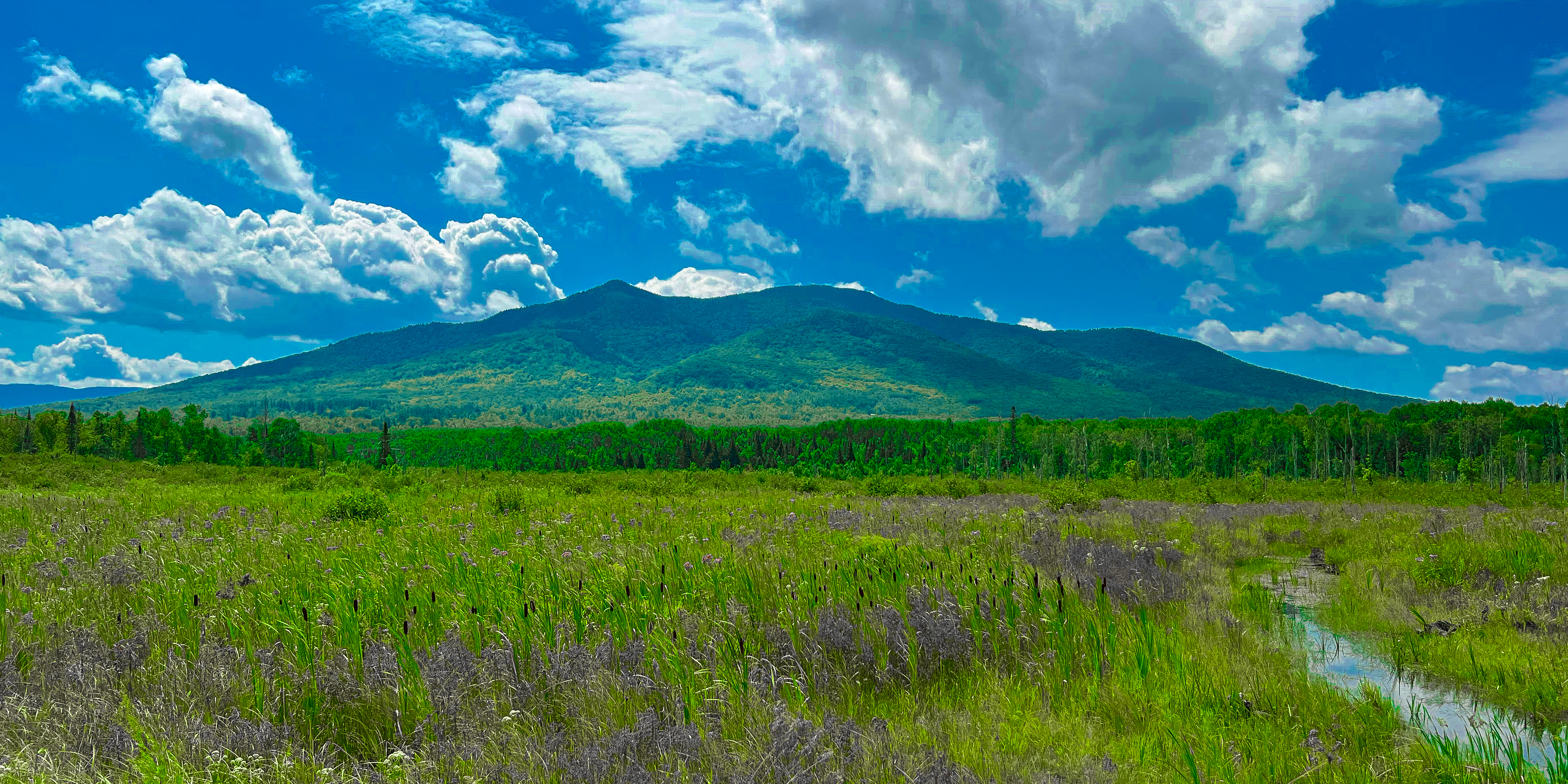
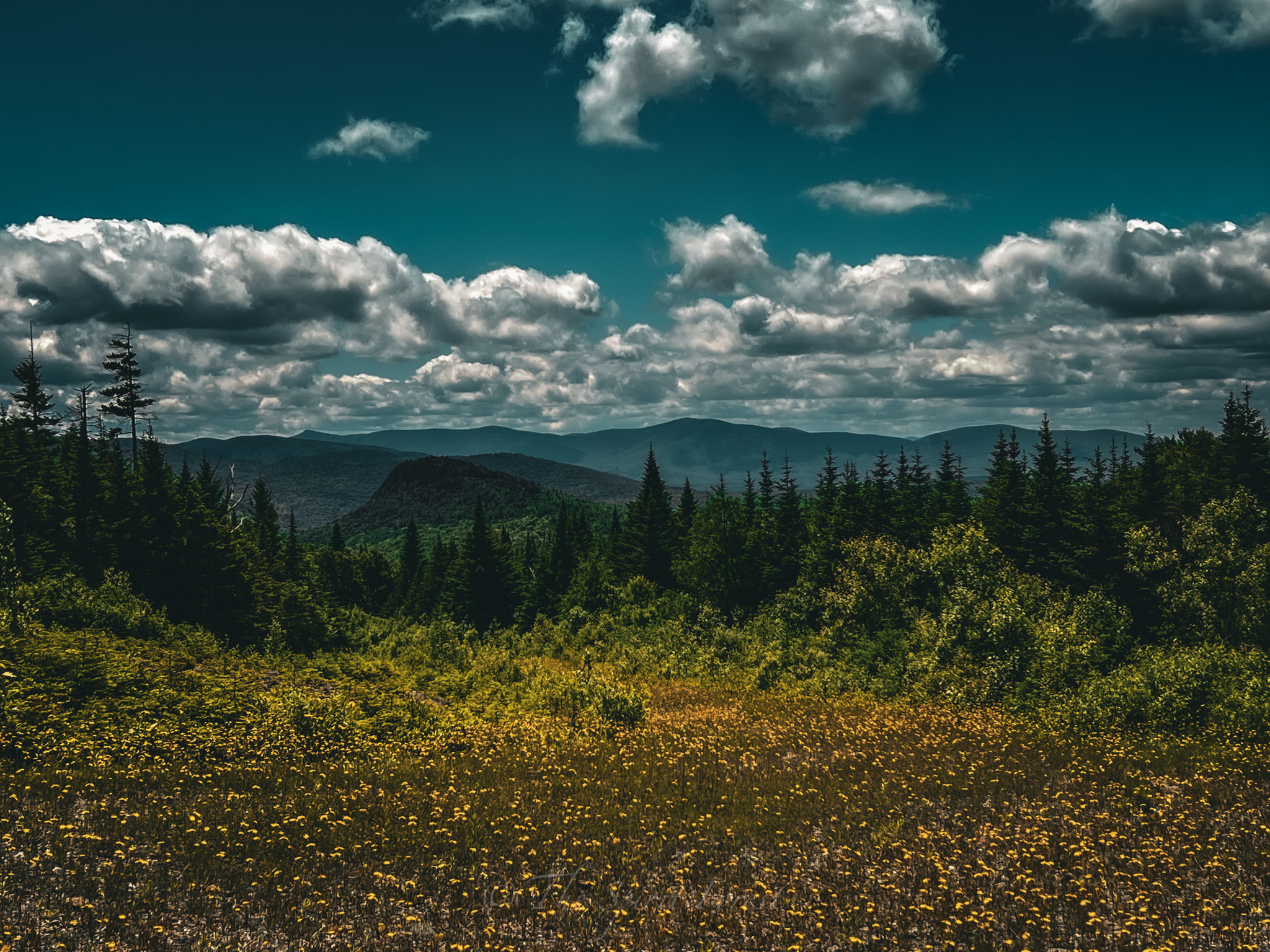
I ate breakfast and started on bandaging my feet for the day. I was worried, but once I bandaged them and covered them with leukotape, they felt alright. I took some pain reliever and started packing up camp. I set off just after 7am down another grassy atv corridor, the Tumbledick trail. I hiked slowly and cautiously over the soft, wet ground. Looking down at the very large moose tracks I’d seen just about the entire time I’ve been on trail. The pain reliever started to kick in and I was starting to feel much better. I finally came out to a large field of wildflowers before heading in and out of the woods all day.
When I came around the side of Tumbledick mountain, I caught my first glimpses of the windmills around dixville Notch. I hiked through moose meadows covered in hogweed, being careful not to touch them or break them. The sap contains photosensitizing furanocoumarins that can cause phytophotodermatits, meaning the sap prevents your skin from protecting itself from sunlight, which leads to a very bad sunburn. It can last for months and is worth taking the extra precautions.
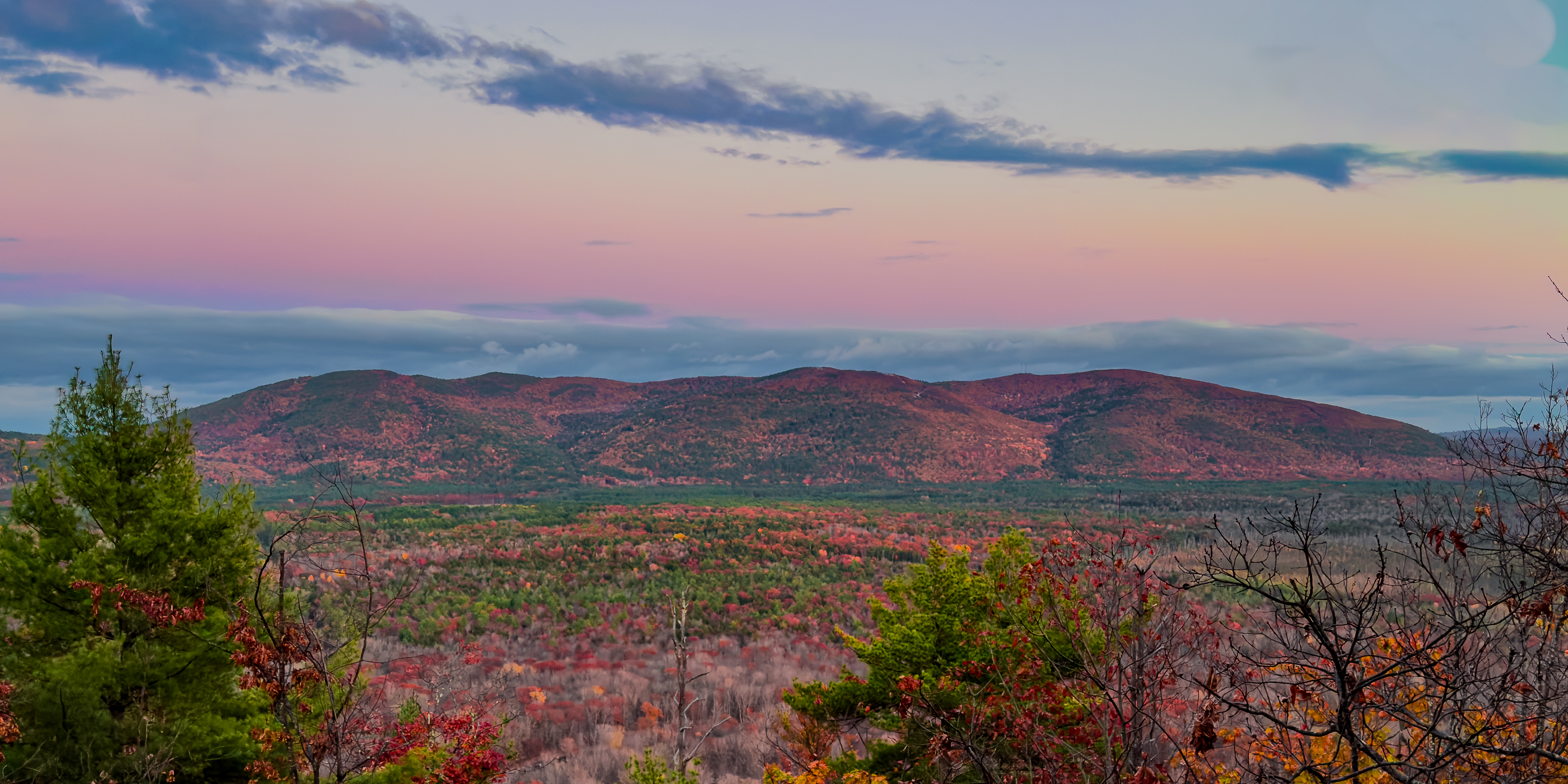
I continued down to Sugar Hill Trail where I came out onto a quick road section to Alison Falls. I snapped a few photos, loaded up on water and hiked up to the summit of Mud Pond Ridge. Once I was down the small mountain, I came out to a clearing with a closed atv road full of wildflowers and a spectacular view of the mountains past Dixville Notch.
I had made it to the Height of the Land and was very close to Panorama Shelter by this point. I finally made it to the shelter just after noon and with good service, called my friend and told them that I was in good spirits and fully capable of making it to Dixville Notch today. I sat in the shelter, charging up my phone and snacking away for lunch. I departed the shelter just before 1pm and headed on down the Sanguinary Ridge to the summit of Sanguinary Mountain. I hiked on a few more miles until I saw my first glimpses of Table Rock and the other rock outcroppings through the trees. This gave me new energy and I was feeling incredibly happy.
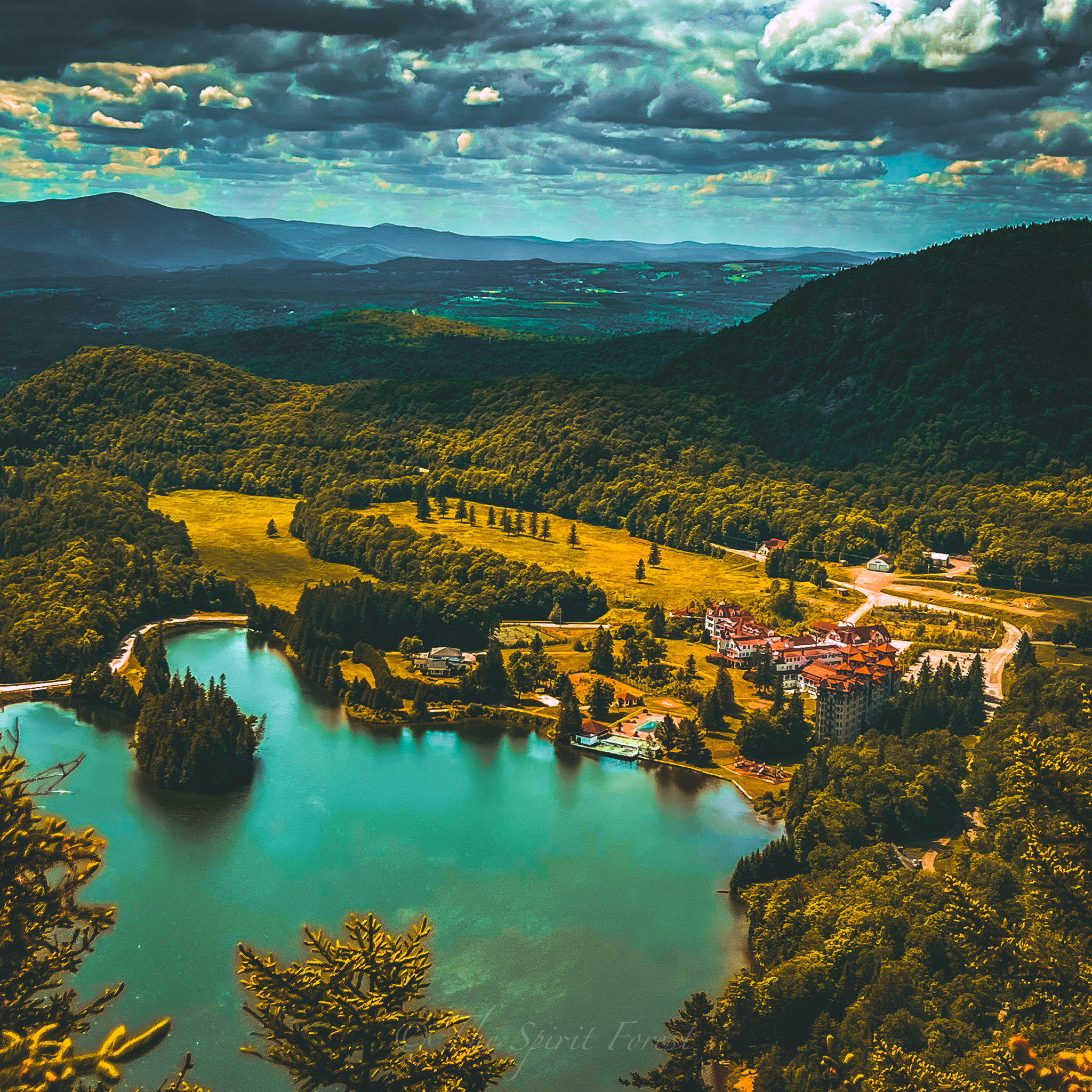
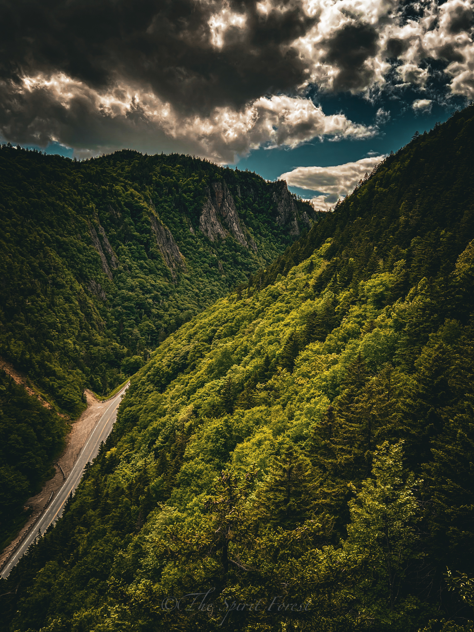
With my feet still sore, I kept going. I was going as fast as my tender feetsies would allow. I finally came to a small outcropping on my right and saw the towering cliffs on the other side of the Notch. Amazing. I’d never seen it from this perspective before. It was so beautiful. Of course I pulled out the camera, but kept a safe distance from the sheer drop offs in front of me. It was windy up there. After the amazement subsided, I continued on to the other outcroppings to once again admire the views from high above the winding road below.
Downward I went. All the way to the bottom where the Baby Flume awaited my arrival. I knew it was there and it was just as lovely as I’d seen before. I threw down my pack, and just stood there relishing in the fact that I had walked there from Canada. I was beside myself and full of joy. Sore feet, but safe and sound. Mind, body, and soul.